
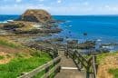

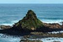


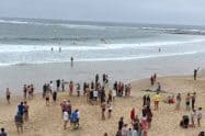


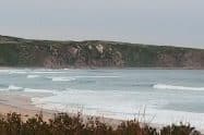
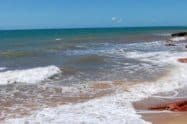
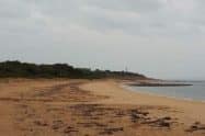

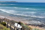
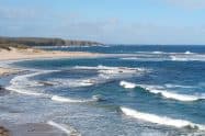
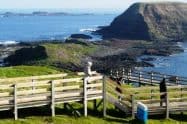
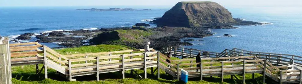
Phillip Island is a scenic island located in Australia 120 kilometres south-east of Melbourne and attracts thousands of tourists all year round.
The island is part of the Bass Coast Shire, and neighbouring islands include Norfolk Island, Nepean Island and French Island. Due to its location, Phillip Island serves as a breakwater for the Western Port. In addition to this, its location makes it a perfect getaway for visitors looking for a well-deserved break.
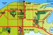
Where is Phillip Island Located Near Melbourne, Victoria Australia
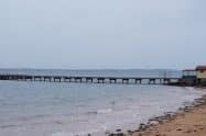
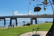
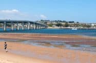
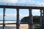
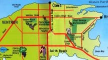
To get to Phillip Island from Melbourne, most travellers hire a car and make the easy drive themselves. Take the Monash Freeway (M1) to the Cranbourne exit, where you will turn into the South Gippsland Highway (M420). Follow this route to the Bass Highway (A420), through Grantville and Bass, then onto the Phillip Island Road (B420) to San Remo, over the bridge onto Phillip Island. Your trip will take approximately 2 hours.
Public Transport options take a little longer, but there are VLine buses departing Melbourne daily from Southern Cross Station which stop along the way at Grantville, Corinella, Bass, San Remo, Newhaven and Cowes. Your trip will take approximately 2.5 to 3 hours.


Do You Have a Question to Ask?